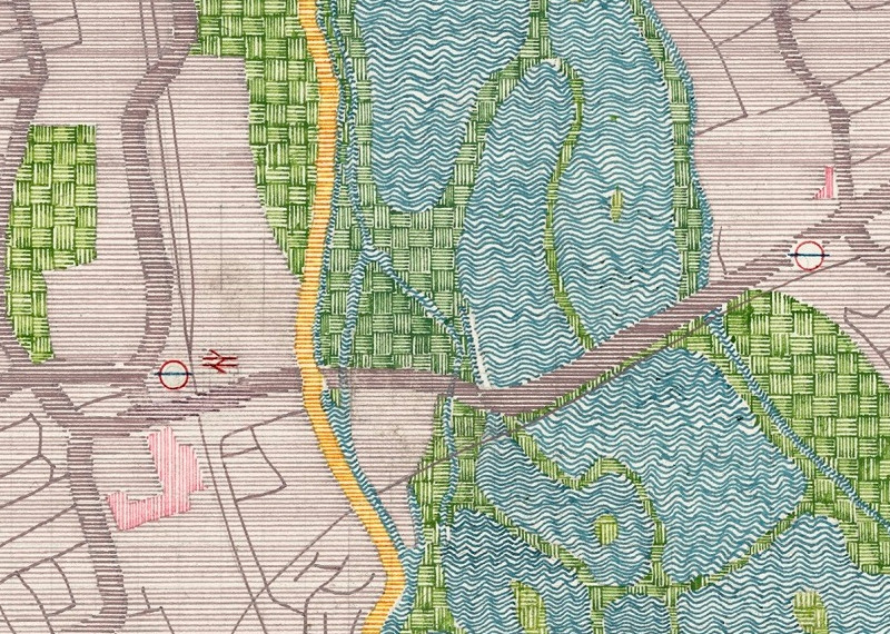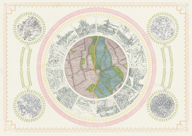

Canalology is a short “festival of contemporary art of the hidden arteries of our city” which is organised by POST and takes place on Saturday (3 May) from noon to 4pm, along the canal beside Tottenham in north-east London. This circular map, which accompanies the official guide to the event that will be available on the day to visitors, has been created by Mary Yacoob, and is a lovely hand-drawn artwork showing the surrounding area. The major features of the map are the many reservoirs of the Walthamstow Wetlands, which lie in the Lea Valley between Tottenham and Walthamstow, and are a source of drinking water for a large part of London. The canal towpath stands out in yellow, while the roads and railway lines are more muted. Stroke-based textures are used to show the different terrain types. A series of vignettes around the map offer a glimpse of the scenery characteristic of the area – canalboats, allotments, powerlines…
By coincidence, ages ago I blogged about another map of the same area, this time forming part of a local gate.