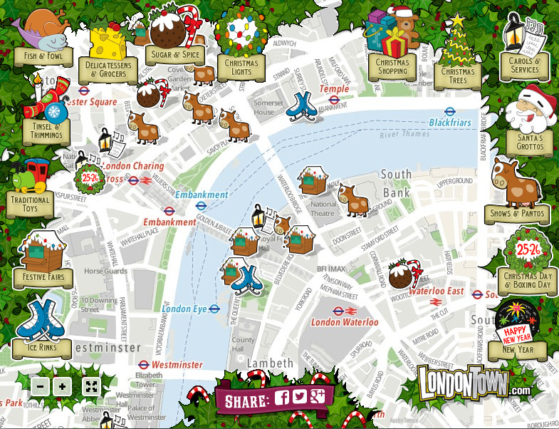

This is a view from the LondonTown Christmas Map. While it is essentially just “pins on a map” map with a number of icons relating to various seasonal attractions in town, it is presented very nicely and is of course very topical. You can toggle on and off sets of icons to view locations of carol services, Santa grottos, ice rinks, Christmas fairs, pantos and so on. There’s also a New Year attractions icon.
LondonTown (we’ve featured them before) are using a very attractive custom OpenStreetMap-based map, using Leaflet and MapBox, as their background. After the familiar orange and green tones of the standard Google Maps map and/or the red and brown colours of the vanilla OpenStreetMap map (fine as they are), used for countless “pins on a map” maps, it is nice to see a fresh, clean background like this being used. The icons themselves are also nicely done and the site, while rather simple in terms of its layer switching and positioning options, looks attractive.
Merry Christmas!
Design/icons by LondonTown, background map data OpenStreetMap contributors.
One comment