The FT has run a couple of articles [$] recently on housing in Peckham and the Old Kent Road area in south-east London – the
More...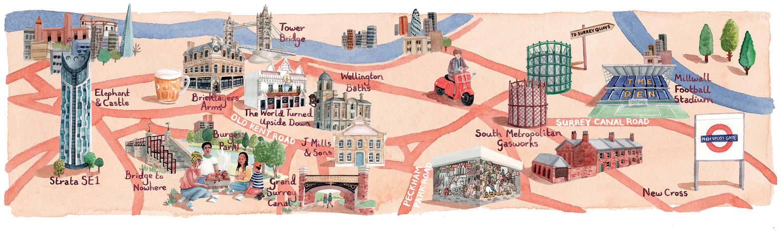
Highlighting the best London maps
The FT has run a couple of articles [$] recently on housing in Peckham and the Old Kent Road area in south-east London – the
More...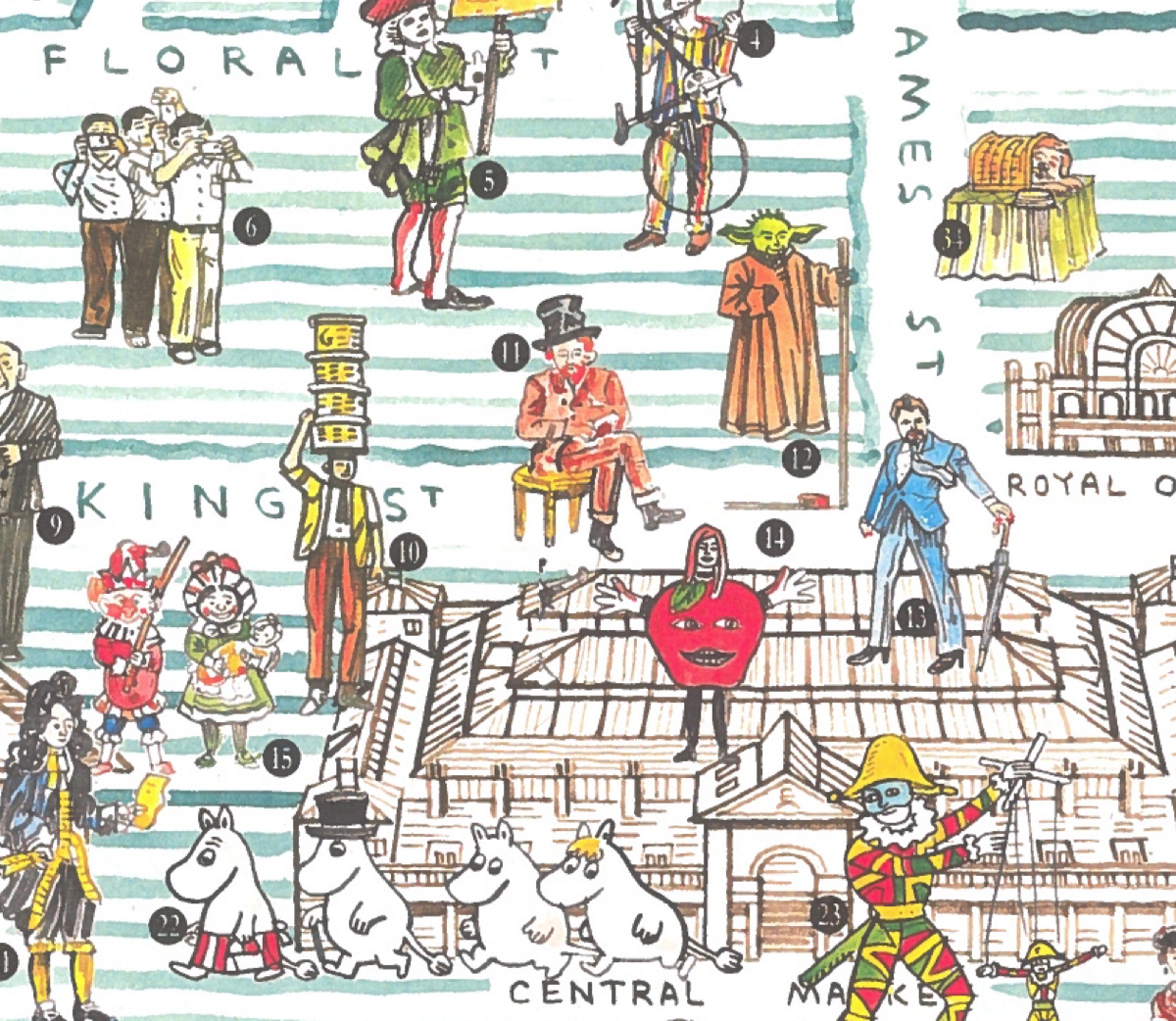
In celebration of the Christmas lights being switched on in Covent Garden this evening, we feature this lovely map of the precinct, which has been
More...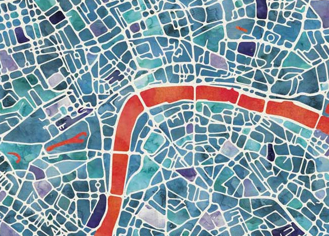
Here’s a lovely looking artistic map of London. Created by Ben Grib in a “watercolour” style and produced as a print on “natural” textured art
More...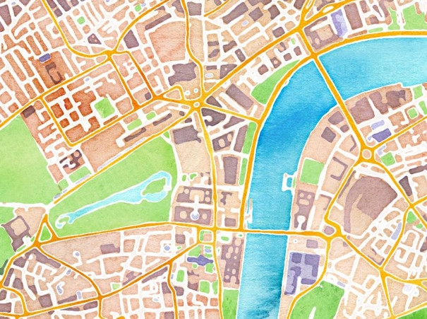
Stamen Design are a bespoke design and technology company based in San Francisco. They have a reputation for creating wonderful looking maps, often with OpenStreetMap
More...