This is a map of geolocated Tweets for the whole world (we’ve defaulted to London here) created by Eric Fischer of Mapbox, who collected the
More...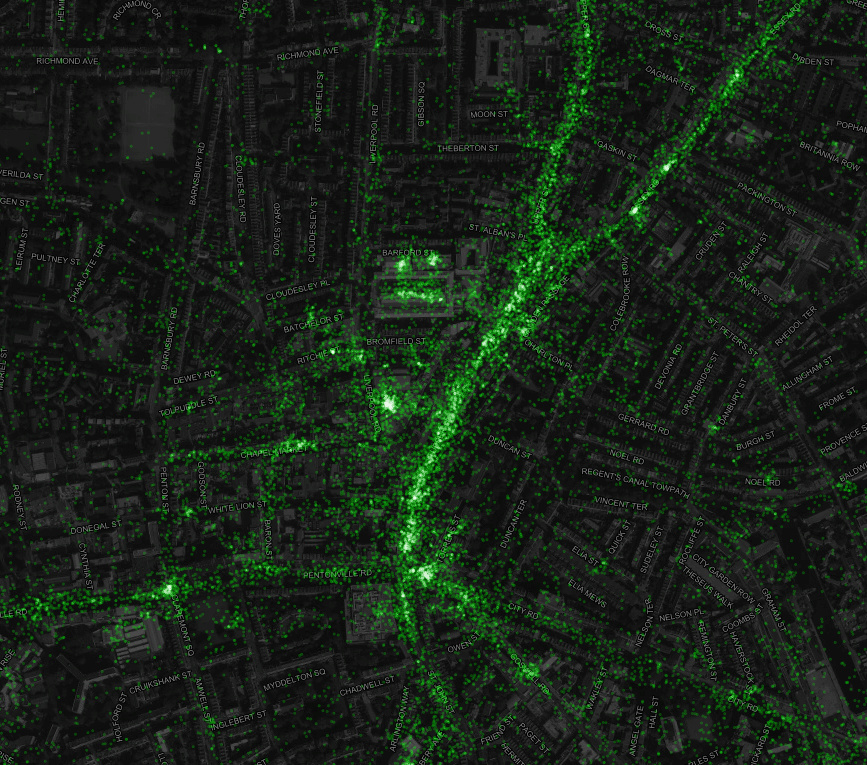
Highlighting the best London maps
This is a map of geolocated Tweets for the whole world (we’ve defaulted to London here) created by Eric Fischer of Mapbox, who collected the
More...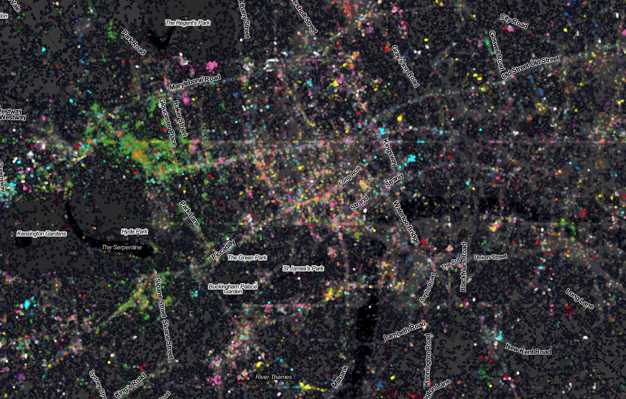
Last week Ed Manley and I published a map showing the top 10 twitter languages in London. To our surprise it made it to page
More...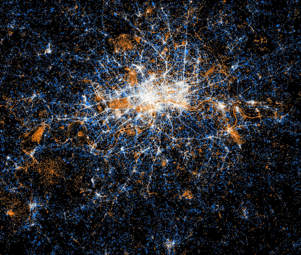
Eric Fischer produced this interesting data map of London a while back. The map is entirely made of of location coordinates included on Twitter tweets,
More...
Mapping London Life is the title of the talk I gave at a great event organised by the Londonist and hosted by TAG Fine Arts.
More...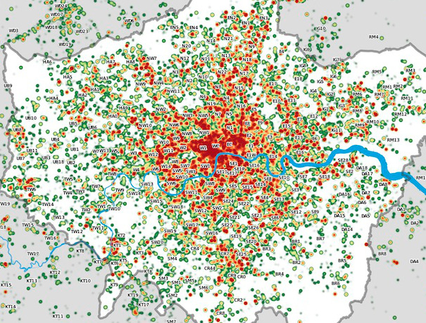
Many Twitter messages, or “tweets”, are sent with latitude/longitude information, allowing an insight into the places where the most amount of tweeting happens. For a
More...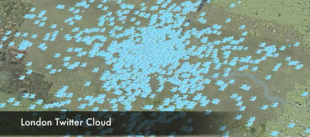
This is another great map animation from our friends in CASA. It is a year old now (almost to the day) but it remains one
More...