Blue Crow Media, long-time makers of bespoke themed maps of London and other places, have switched from their regular architecture focus and produced a lovely
More...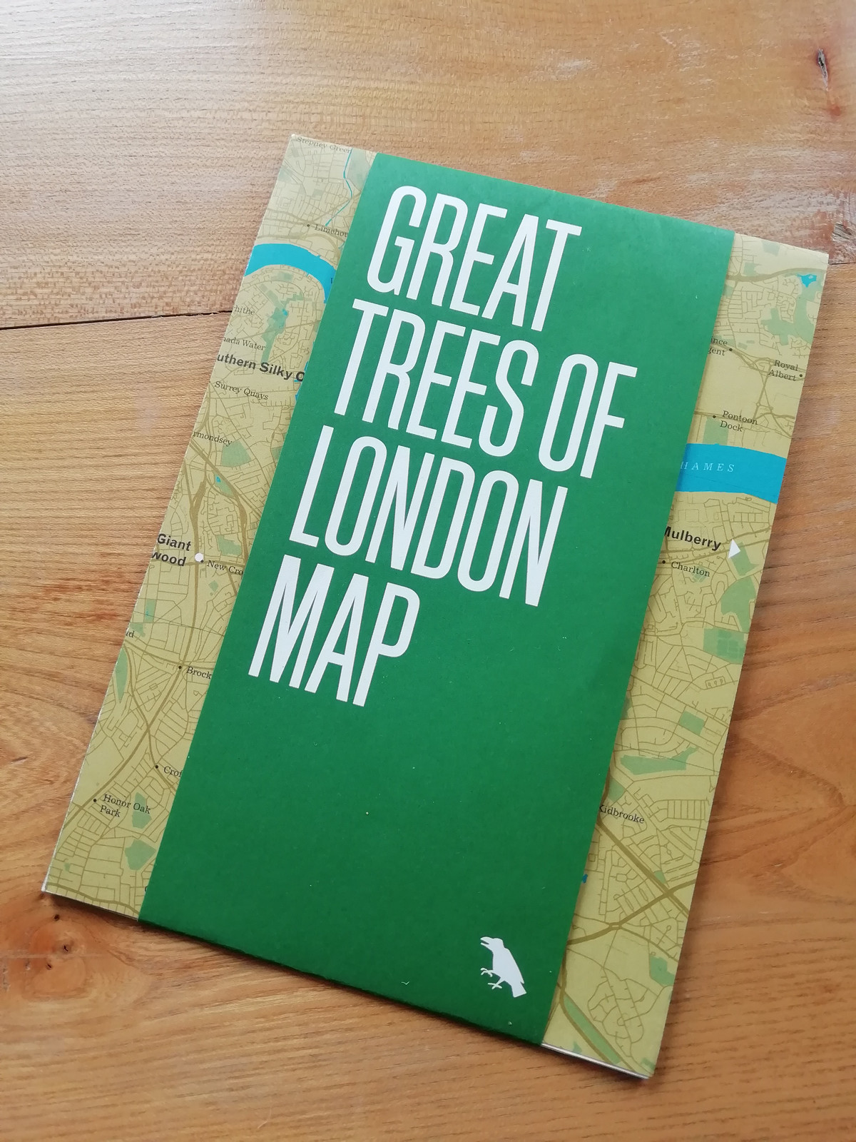
Highlighting the best London maps
Blue Crow Media, long-time makers of bespoke themed maps of London and other places, have switched from their regular architecture focus and produced a lovely
More...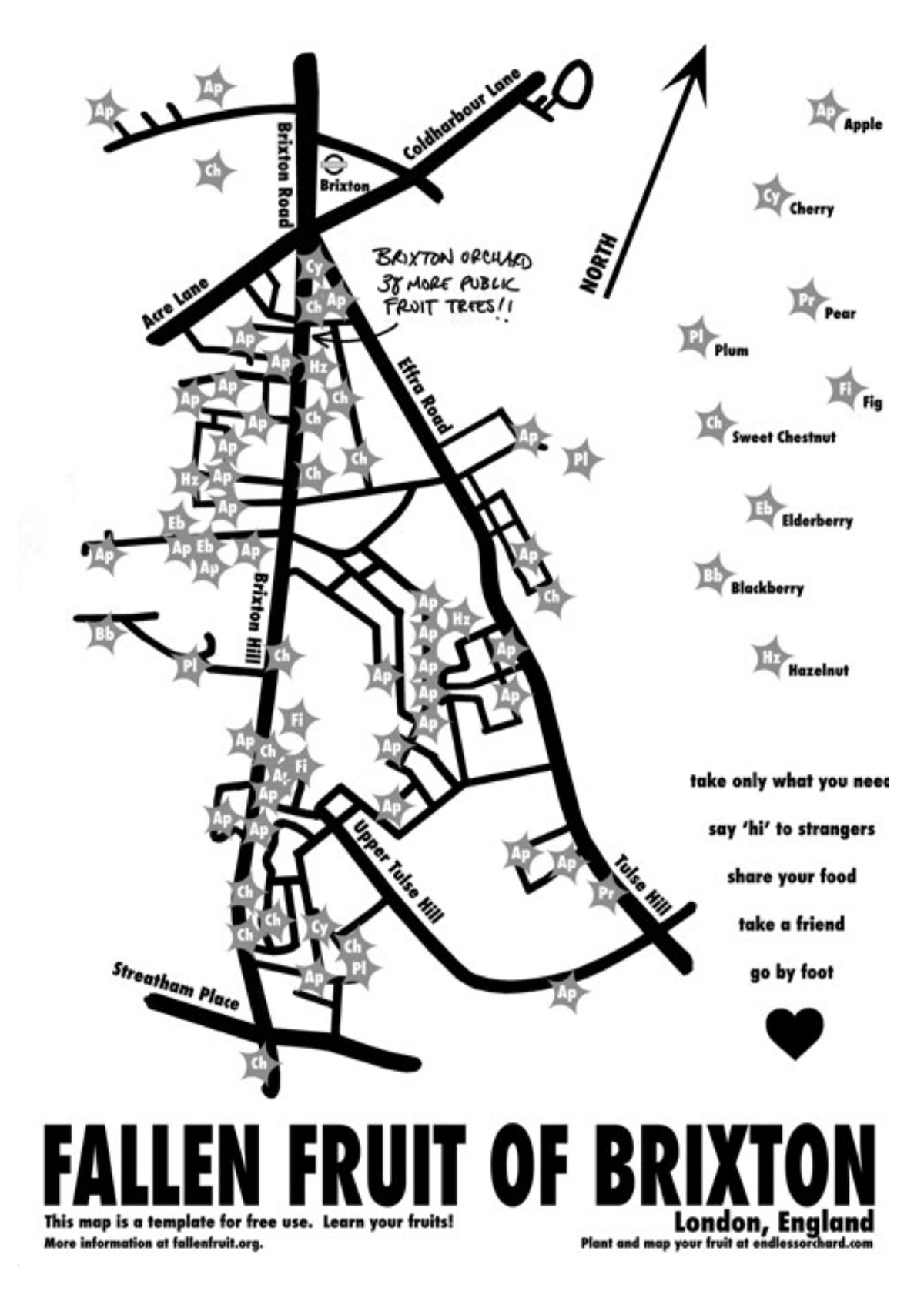
The Fallen Fruit project, by David Allen Burns and Austin Young in the US, allows communities to map publically owned/accessible trees in their neighbourhood which
More...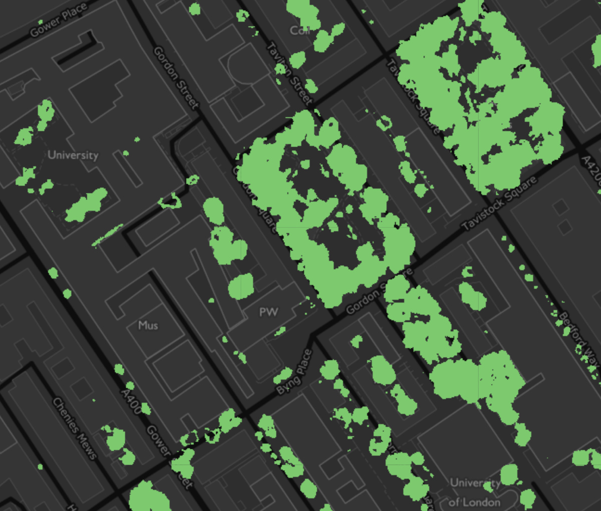
The Greater London Authority has published a data map, showing the locations within London where tree canopies can be seen from overhead. There are about
More...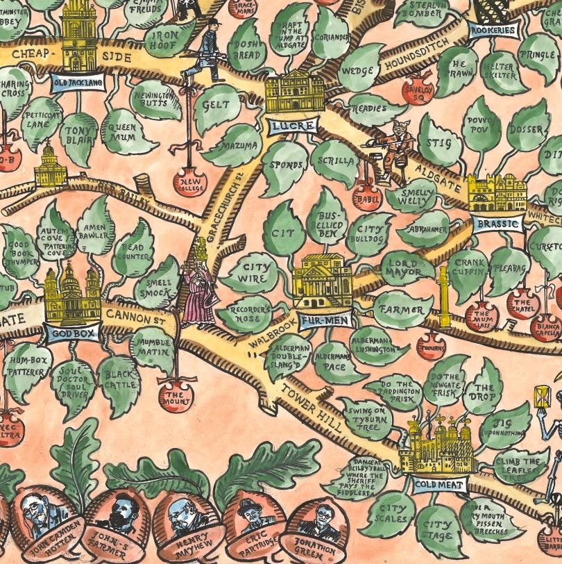
Argotopolis is a map of London slang, created by Adam Dant (cartographer) and Jonathon Green (lexicographer). At first glance it looks like an ornate tree,
More...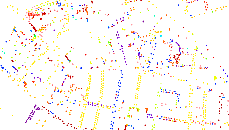
This is a cross-post from oobrien.com. Above is an excerpt of a large, coloured-dot based graphic showing the locations of street trees in Southwark Borough
More...