This is a map of geolocated Tweets for the whole world (we’ve defaulted to London here) created by Eric Fischer of Mapbox, who collected the
More...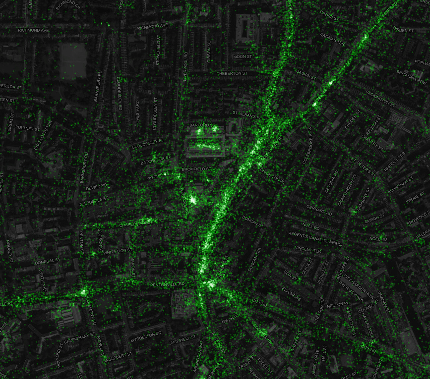
Highlighting the best London maps
This is a map of geolocated Tweets for the whole world (we’ve defaulted to London here) created by Eric Fischer of Mapbox, who collected the
More...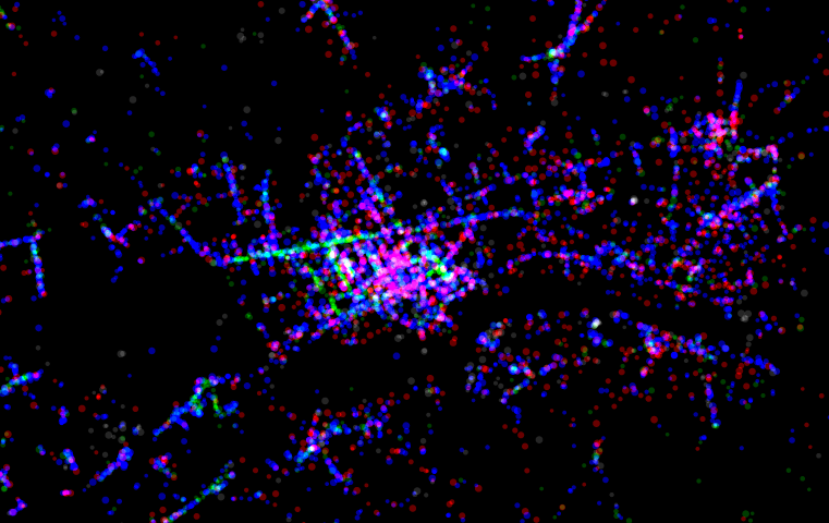
The Foursquare social network has always been very focused on place – its key element being the “checkin” to the pub, restaurant or park you
More...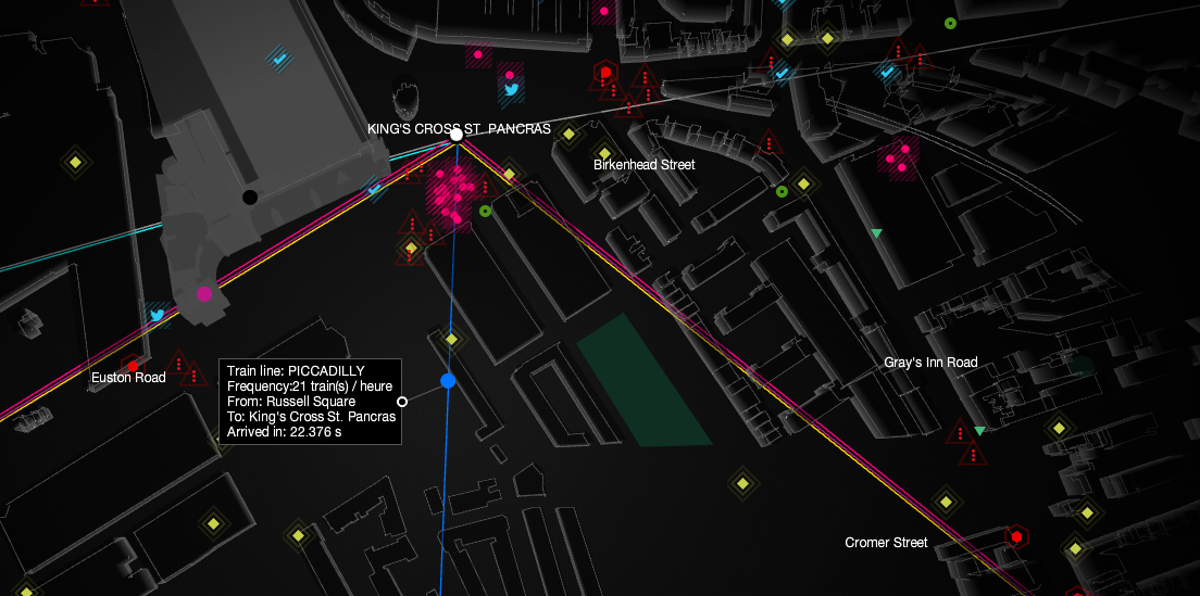
UbiSoft have created this compelling live map of London’s sensor and social media data, as part of a promotion for their upcoming game “Watch Dogs”.
More...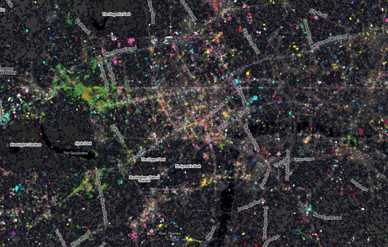
Last week Ed Manley and I published a map showing the top 10 twitter languages in London. To our surprise it made it to page
More...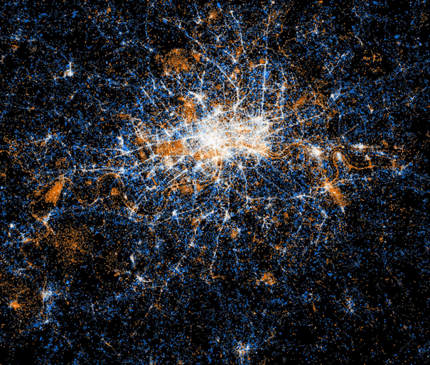
Eric Fischer produced this interesting data map of London a while back. The map is entirely made of of location coordinates included on Twitter tweets,
More...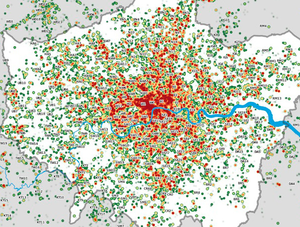
Many Twitter messages, or “tweets”, are sent with latitude/longitude information, allowing an insight into the places where the most amount of tweeting happens. For a
More...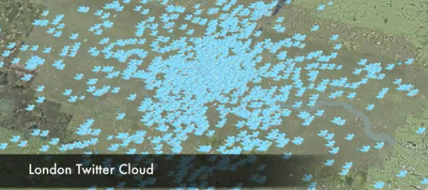
This is another great map animation from our friends in CASA. It is a year old now (almost to the day) but it remains one
More...