Blue Crow Media, long-time makers of bespoke themed maps of London and other places, have switched from their regular architecture focus and produced a lovely
More...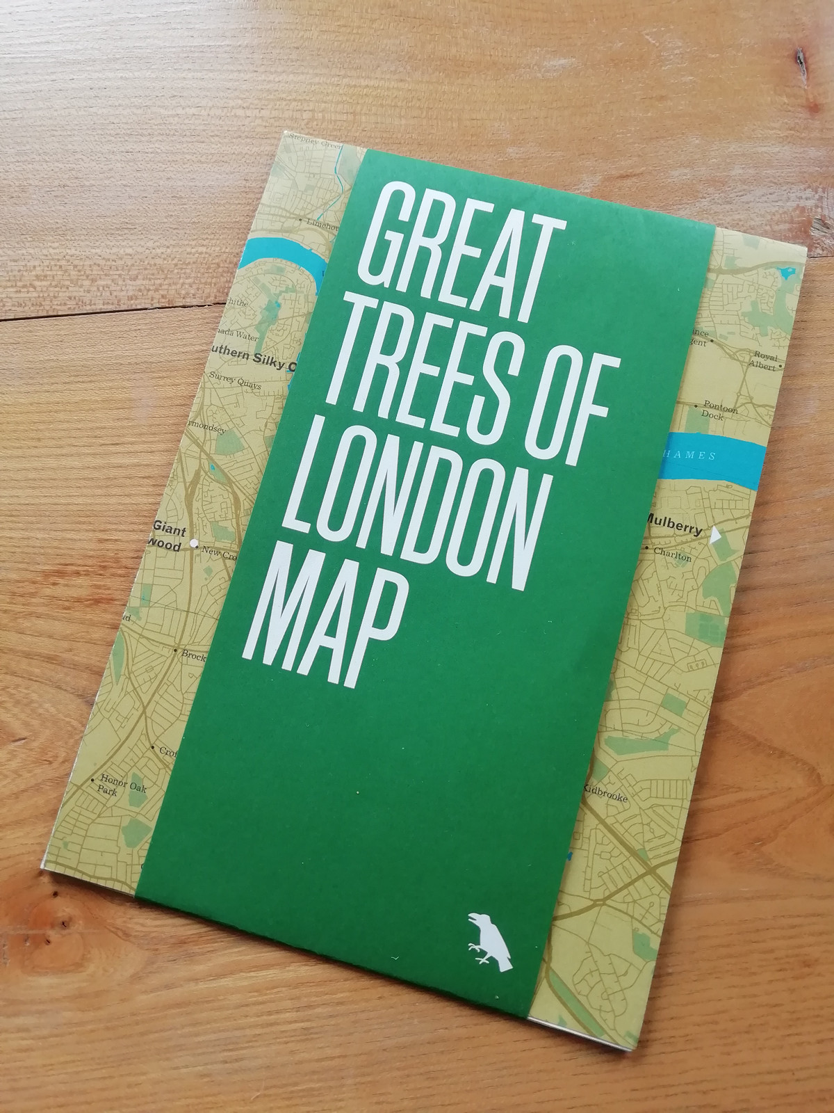
Highlighting the best London maps
Blue Crow Media, long-time makers of bespoke themed maps of London and other places, have switched from their regular architecture focus and produced a lovely
More...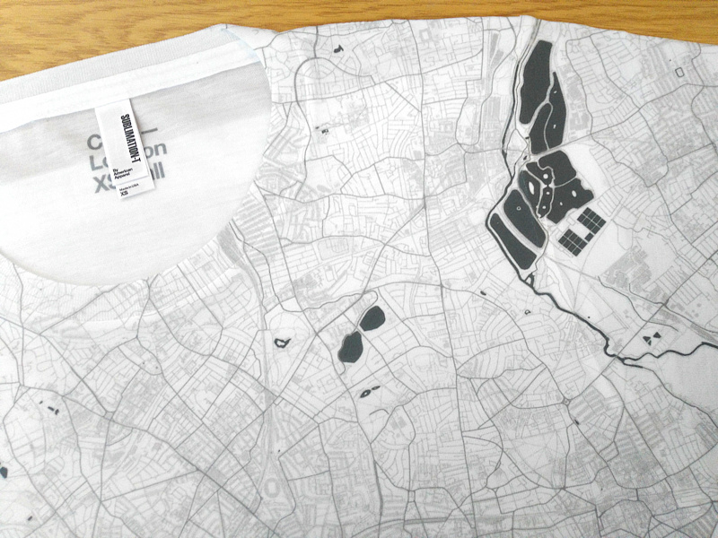
Citee has been producing technical T-shirts featuring maps of various cities around the world, including London, for the last year. They are currently crowdfunding for
More...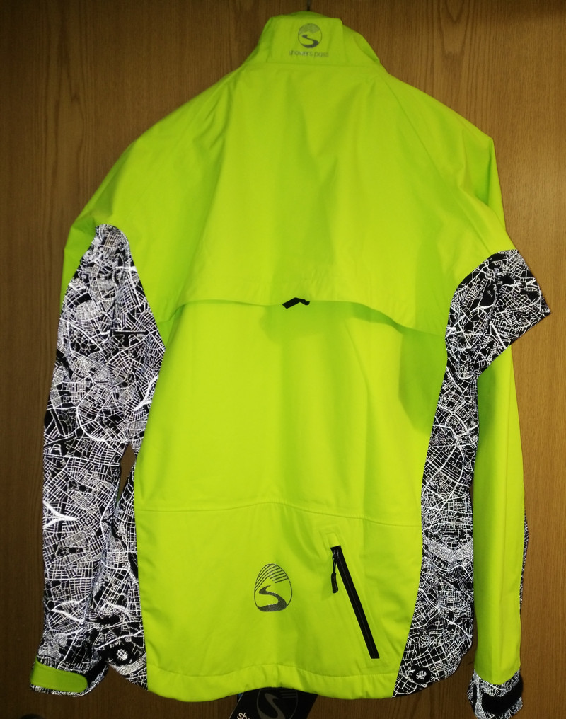
London’s street network appears on a new cycling jacket – when you shine a light at it! Showerspass, a Portland (Oregon)-based company, has unveiled two
More...
This is a cross-post from oobrien.com. Above is an excerpt of a large, coloured-dot based graphic showing the locations of street trees in Southwark Borough
More...
The Foursquare social network has always been very focused on place – its key element being the “checkin” to the pub, restaurant or park you
More...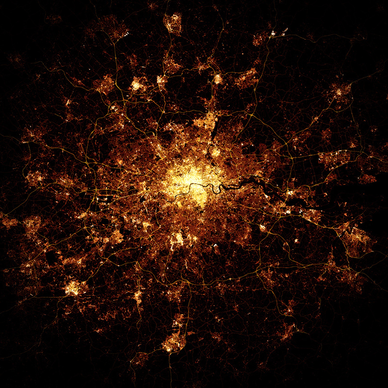
At first glance, this looks like a photo of London at night, maybe from the International Space Station (ISS) or another satellite. Creator Marc Khachfe
More...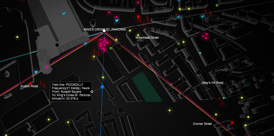
UbiSoft have created this compelling live map of London’s sensor and social media data, as part of a promotion for their upcoming game “Watch Dogs”.
More...