The iconic tube map has featured on many Mapping London posts but not everyone sees the familiar colours in the same way. The official map
More...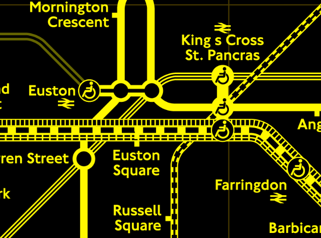
Highlighting the best London maps
The iconic tube map has featured on many Mapping London posts but not everyone sees the familiar colours in the same way. The official map
More...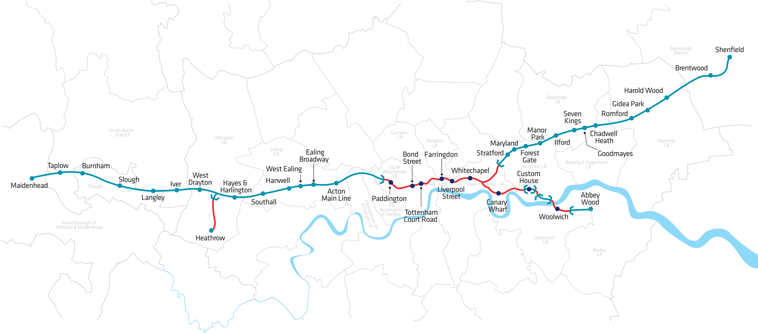
Crossrail is a huge project tunnelling out a new railway line under central London. We featured the Crossrail “live” maps showing the location of the
More...
Dr Ed Manley (@EdThink), a research associate on the Mechanicity project here at the Centre for Advanced Spatial Analysis, created this dramatic, colourful graphic (excerpt
More...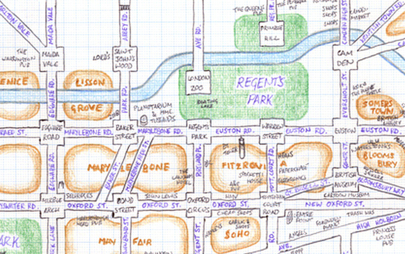
Mappa Lundi is a hand-drawn map of central London which simplifies the street network, districts, parks and tourist attractions into a simple, pseudo-grid like structure.
More...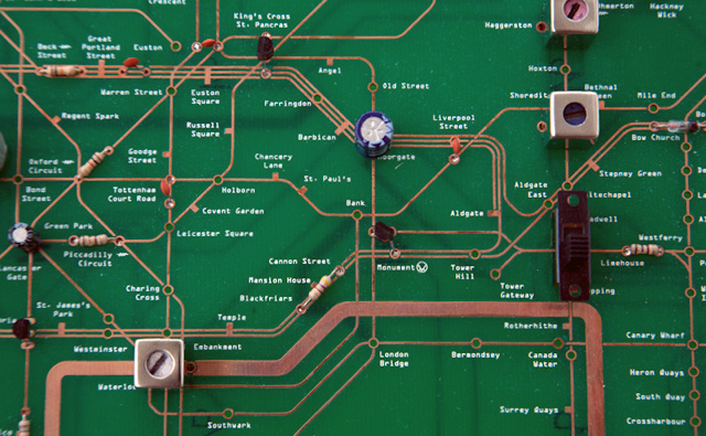
We’ve featured at least three maps since the last one derived from the tube network, so we must be due for another interpretation of London’s
More...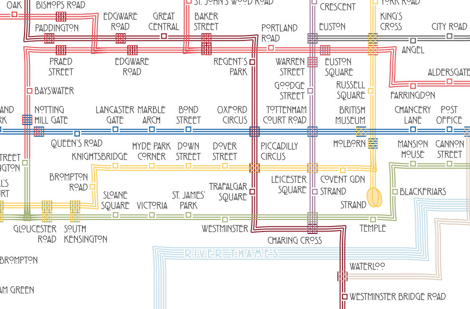
Above is an extract from a map of the London Underground, drawn by Max Roberts in the style of Charles Rennie Mackintosh – with sets
More...