Step aside Stephen Walter, over 270 UCL students (and staff) have created their own interactive hand drawn map of London. Organised by two students Alistair Leak and
More...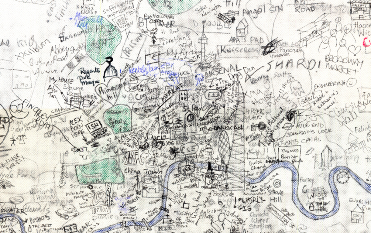
Highlighting the best London maps

Step aside Stephen Walter, over 270 UCL students (and staff) have created their own interactive hand drawn map of London. Organised by two students Alistair Leak and
More...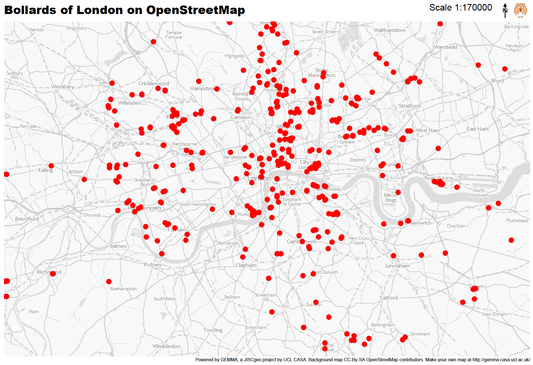
Mapping London Life is the title of the talk I gave at a great event organised by the Londonist and hosted by TAG Fine Arts.
More...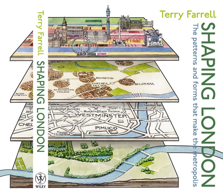
Duncan Smith, a colleague of ours, has written a great review of the “Shaping London” book for his City Geographics blog. He has kindly let
More...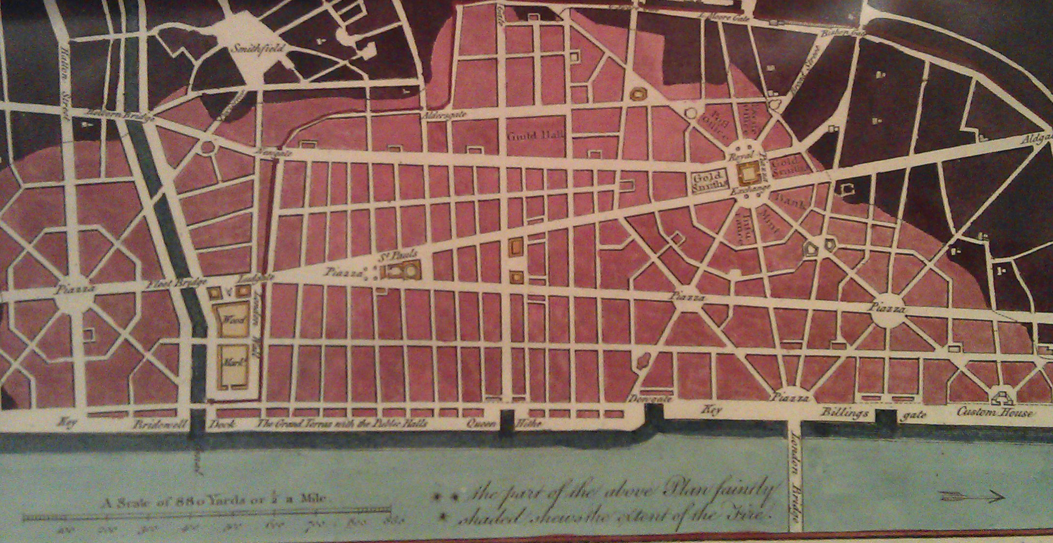
There is a shop in London that I always peer into when I walk past but have always resisted going in as it presented a
More...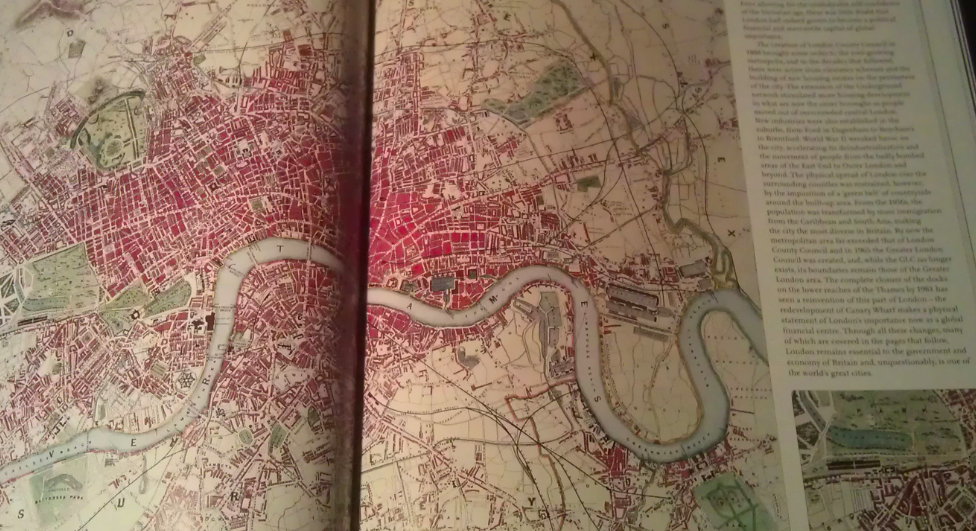
A few months back I had the honour of being asked to approve the use of a couple of excerpts from my London Surname Map
More...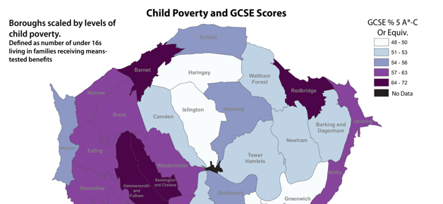
This week, thousands of teenagers across the capital will receive GCSE results that will likely have an impact on the life decisions they take over the
More...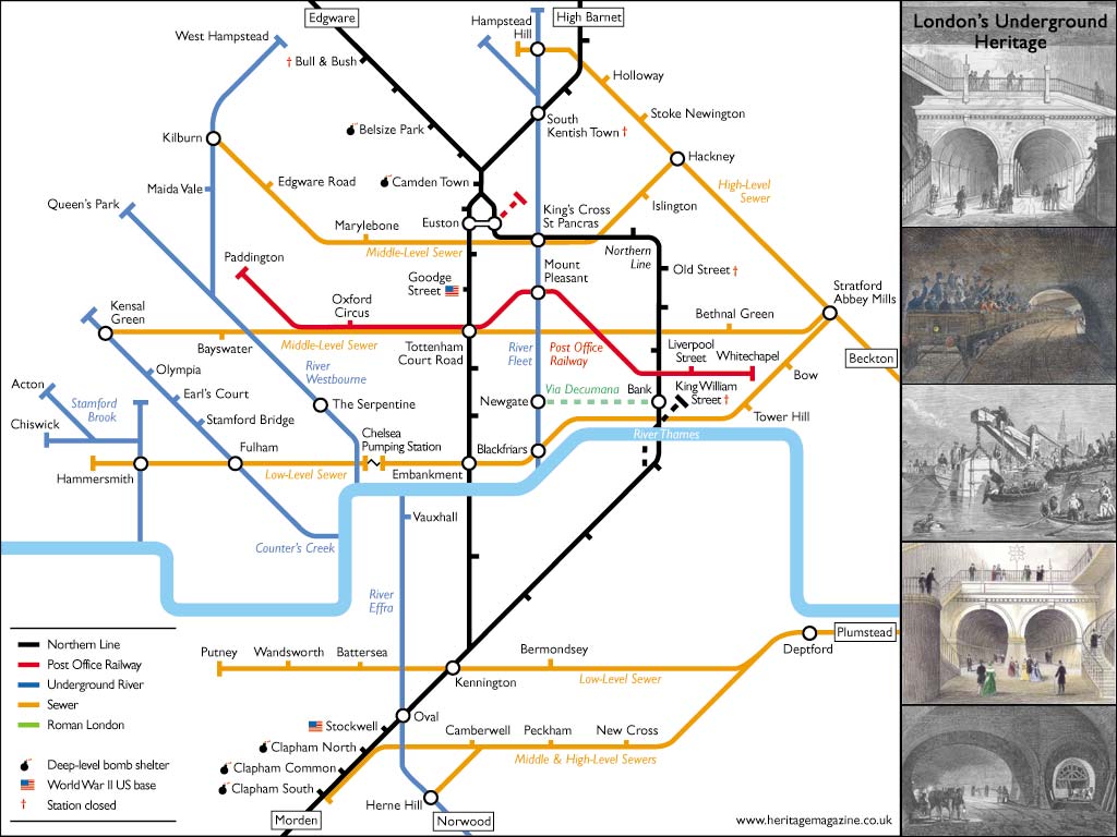
Aside from the odd rumble of a tube train, or perhaps a burst pipe in winter, Londoners often overlook the goings on beneath their feet.
More...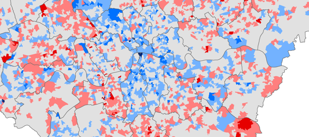
Chris Gale, a fellow UCL Geographer, has produced these maps showing the change in deprivation scores in London between 2007 and 2010. They show a
More...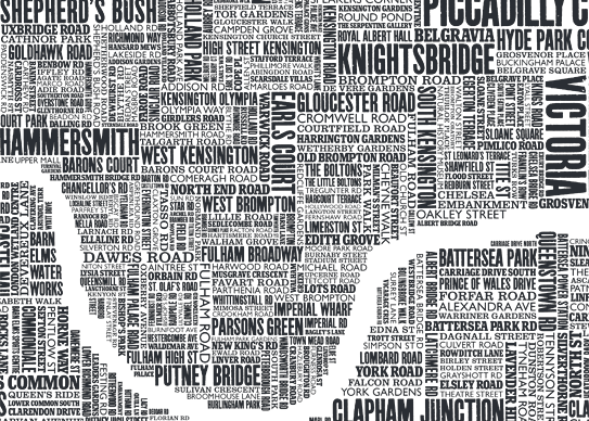
Some of the most popular posts on spatialanalysis are about typographic maps. I thought it would be cool to put together some of my favourite’s
More...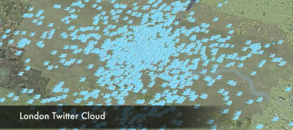
This is another great map animation from our friends in CASA. It is a year old now (almost to the day) but it remains one
More...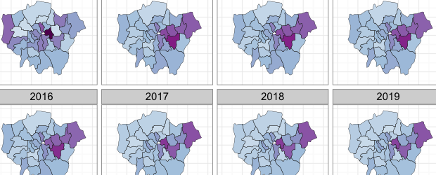
Buried in the London Datastore are the population estimates for each of the London Boroughs between 2001 – 2030. They predict a declining population for most
More...