From the desk of Blue Crow Media (we’ve featured several of their maps before) comes this new map of London, focusing on Postmodernism in the
More...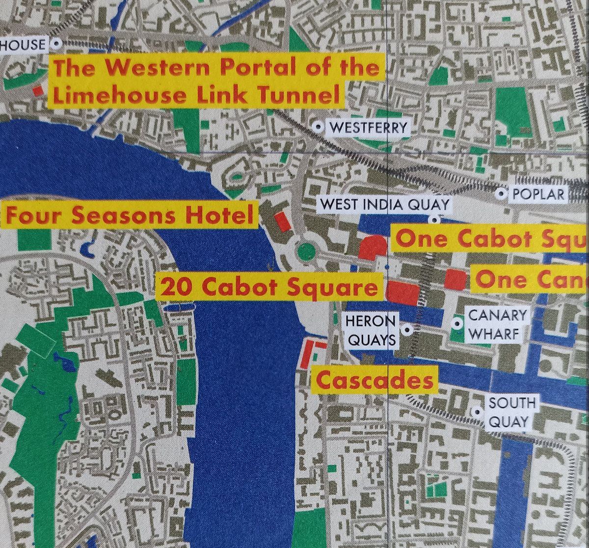
Highlighting the best London maps
From the desk of Blue Crow Media (we’ve featured several of their maps before) comes this new map of London, focusing on Postmodernism in the
More...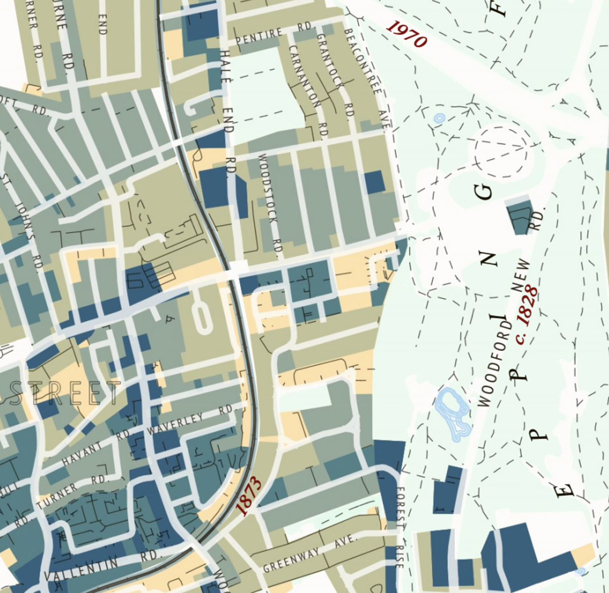
This attractive map of the housing and infrastructure history of Walthamstow and Leyton in north-east London has been created by Scott Davies. Scott used QGIS
More...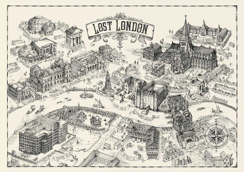
London has a great collection of grand buildings, famous bridges and other urban objects that delight tourists and residents alike, but there’s quite a few
More...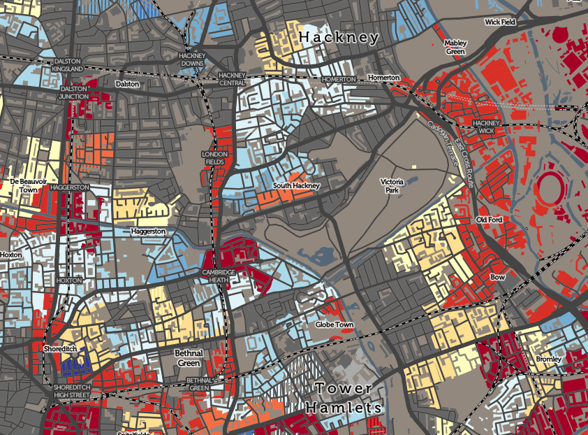
The Valuation Office Agency publish some interesting open data sets from time-to-time. One that caught my eye recently was a breakdown of counts of residential
More...
Crossrail is a huge project tunnelling out a new railway line under central London. We featured the Crossrail “live” maps showing the location of the
More...