Ever thought we should be a book? Well, Modern London Maps, while unrelated to Mapping London, is probably quite close to the book that we would have published. This beautifully presented large-format book, written by Vincent Westbrook as a labour of love and published by Batsford, is focused on, like we are, contemporary ways of portraying London beyond the Google Maps and tube map schematic that Londoners and visitors alike will be very familiar with.
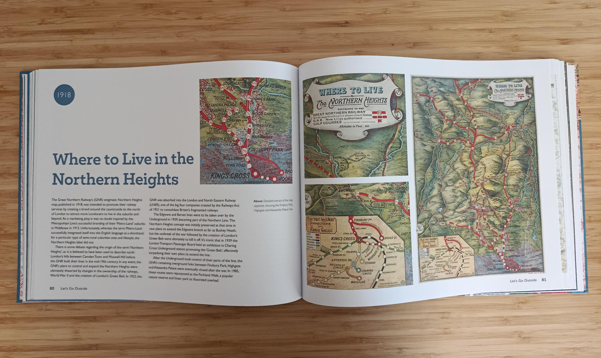
Compiled as a labour of love by Vincent, this 175-page book is organised thematically rather than chronologically. With topics including the Royal Family, London’s population diversity, war time, the great outdoors and transport, as well as a more whimsical final category, this is a book rich in topics and detail. The maps skew slightly to the earlier part of last century rather than the latter part – perhaps a sign that, with the time of computerisation, our more modern maps are perhaps less diverse and novel. Nonetheless there are some very new examples, including the lovely London 2012 walking maps which have gone on to form the “Legible London” street maps seen on the ground. Many of the maps are presented with the full map on the right-hand page and a narrative on the left-hand page, with the year of production of the map and often an enlarged extract too, allowing the reader to appreciate the detail of the maps which in some cases are otherwise quite hard to read when fitted to a single page.
Many of the maps you’ll find in Mapping London too, but we feature in this review of the book some samples of maps that we have so far managed to miss. There are some proper “nerdy” maps included – The Daily Telegraph Telephone Rates Map of London from 1922 is a case in point. Shown as a series of concentric circles radiating out from each telephone exchange, it harks back to a time when distance to your local exchange, between exchanges, and to the receiver from their exchange, determined the cost of your call – leading to a risk of the equivalent of bill-shock these days from roaming rates. The Telegraph were there with this map to try and minimise this.
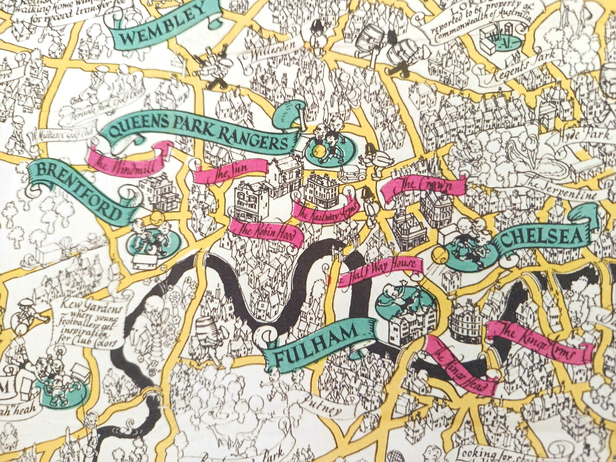
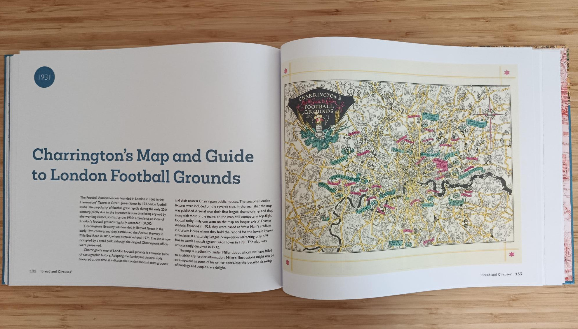
Or what about Charrington’s Map and Guide to London Football Grounds? Charrington’s being a brewery in the East End of London (until 1975) with its name living on on the front of some historic London pubs – but back in 1931 they produced a map of all the major London football clubs of the time (in green), plus the nearest Charrington’s pub to each ground (in red). It’s nearly 100 years old but most of the clubs, and at least some of the pubs, have survived to the present day. The map is also adorned with various other “scroll”-type labels of other London suburbs but also various football-related trivia from the time.
Available from Amazon and all good bookstores, as well as from boutique publisher Batsford directly, this is definitely one for those who appreciate London and cartography in all its many forms.