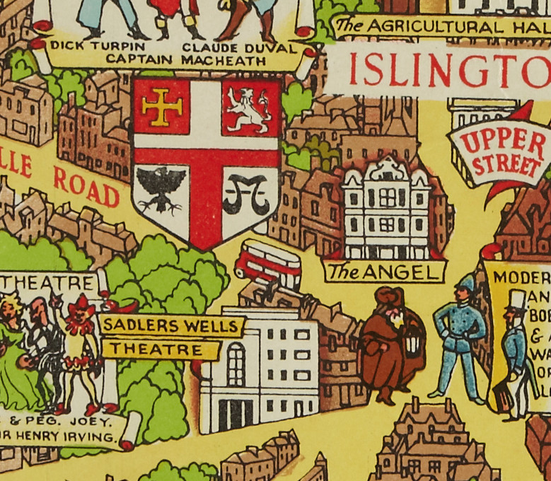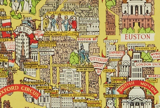
We featured Lee’s Bastion of Liberty map, a detailed portrait of London to remind the war-weary 1940s/50s public of the great city that they lived in, in November 2013. We hadn’t seen the map itself, just other references to it on the web, and that’s still the case, but in January this year we got an email from Jan Danielsson, to say he’d found, and bought, a rare copy of the map in an auction in Stockholm. The auction website has an excellent, high-resolution excerpt of the map, we reproduce a couple of excerpts of the excerpt (!) here to give you an ideal of the detail.
Our comments from previous article still stand – it’s a gloriously detailed, colourful map, and it’s striking to see the places that have stayed the same over 70 years, much as the places that have changed beyond all recognition.
If someone living in London has the physical map, we would love to take a look.
Thank you to Jan to emailing us about his purchase and the link to the auction site, and Auktionsverket for posting high-resolution images.

