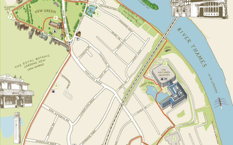
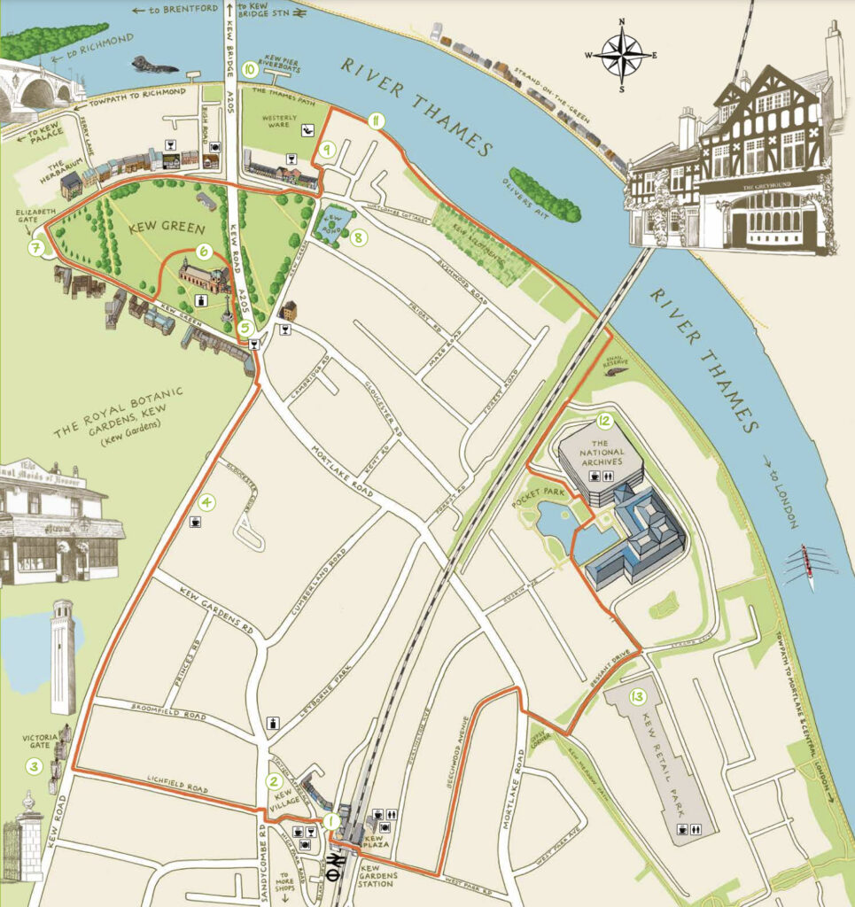
Kew is one of London’s leafy surburban neighbourhoods. Situated on a long curve of the River Thames, ot is of course famous for Kew Gardens, but there is more to the peninsula than just flowers. The Kew Society has produced a walking tour leaflet, which you can download. It includes on its second page a rather nice, simple map, that does all it needs to do to help you explore the area – it shows the route with a simple red line, and includes the various points of interest to visit. The walk starts and finishes at Kew Gardens station, one of the more attractive London Underground (and Overground) stations, which unusually has a pub on one of its platforms. On the way the route goes past the modern National Archives buildings, follows a short length of the Thames Path, and wanders through the small but attractive Kew Green, before ending up at Kew Village. London has a lot of places called “villages” which are anything but, but Kew has a reasonable claim, featuring a number of small independent shops and a generally relaxed feel (apart from the hordes of Kew Gardens visitors traipsing through).
We like the simple colour palate of the map, predominately pastel blues, greens, black and a warm light brown background. It has a north arrow, and road names. Plus some nice vignettes (pictures of the things that you’ll see, at their approximate location) and a small amount of extra “fluff”, namely a rowing boat and a seal on the Thames itself.
You can download it directly here or see more about the Kew Society.

