My latest London data visualisation crunches an interesting dataset from the Department of Transport. The data is available across England, although I’ve chosen London in
More...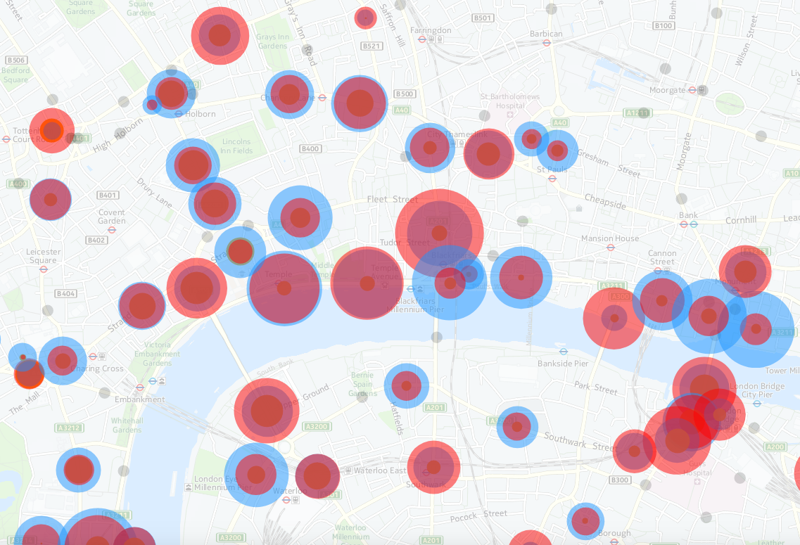
Highlighting the best London maps

My latest London data visualisation crunches an interesting dataset from the Department of Transport. The data is available across England, although I’ve chosen London in
More...
We’ve long been fans of artist Stephen Walter’s monochromatic cartographical style and have featured numerous map-based artworks by him over the years. It’s been interesting
More...
Londoners will be very familiar with the crowded London Underground services and their famous diagrammatic Tube Map, but might be less familiar with another public
More...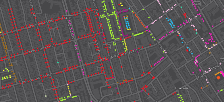
Following a data release of Southwark’s publically maintained trees a couple of years back, the Greater London Authority recently published a map which shows street
More...
A new flagship Lego store opened in London a few months back, in Leicester Square. Since the launch, there has been an almost continuous queue
More...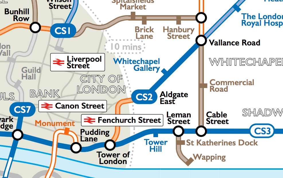
Cycling in London is on the increase, however it can be tricky to discover the best routes for cycling in London – the ones that
More...
There’s a tube strike on today, with many tube stations expected to be closed. The inner city and central London are likely to be hardest
More...