Here is part of a map, The Map of Roman Britain, Second Edition, published by the Ordnance Survey in 1931 and scanned by Bibliographics. The
More...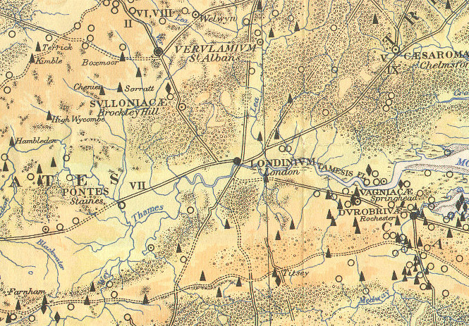
Highlighting the best London maps
Here is part of a map, The Map of Roman Britain, Second Edition, published by the Ordnance Survey in 1931 and scanned by Bibliographics. The
More...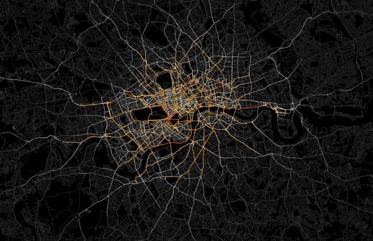
Ed Manley (UCL Geomatic Engineering) produced this great map of private hire vehicles in London (note my avoidance of the “T” word). He was able
More...