The John Snow Cholera Map is world famous as the map that identified the cause of the disease, and was one of the first epidemiological
More...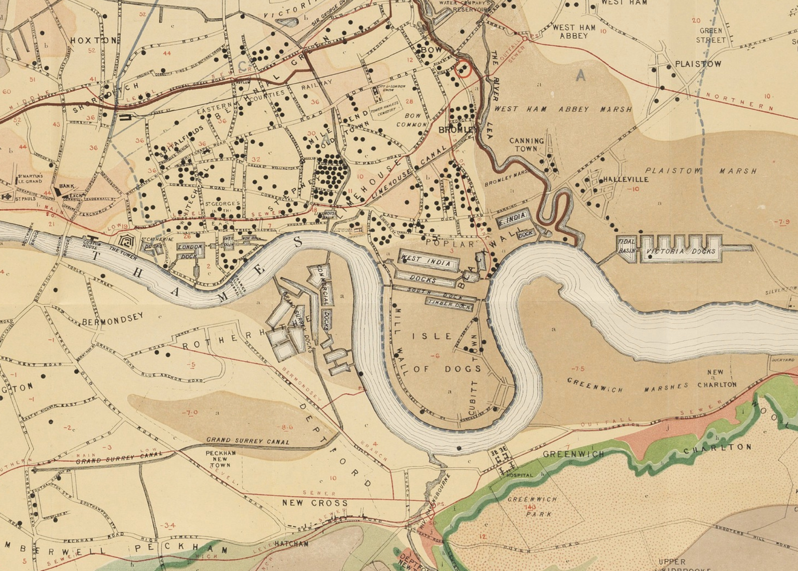
Highlighting the best London maps
The John Snow Cholera Map is world famous as the map that identified the cause of the disease, and was one of the first epidemiological
More...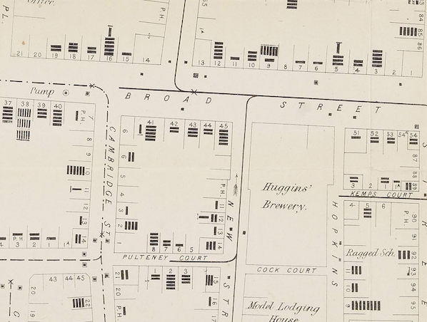
John Snow’s map of cholera has become one of the most iconic of an era when the importance of statistics and graphics were becoming recognised. The map
More...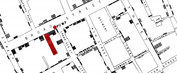
Embedded below is a high resolution version of John Snow’s 1854 map of the Broad Street (now Broadwick Street) cholera outbreak. Widely cited as the
More...