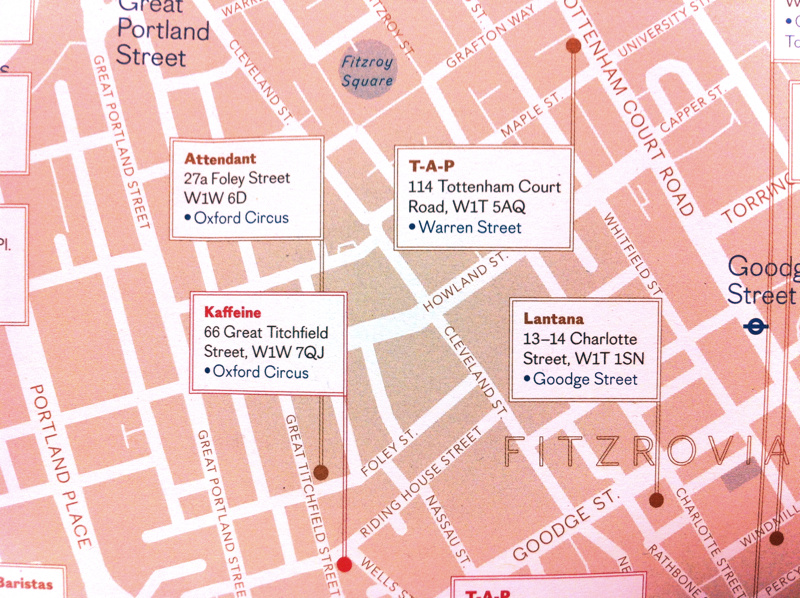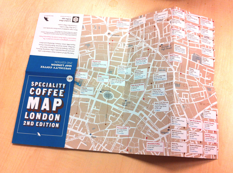
London’s craft beer and microbrewery scene is burgeoning, and trendy independent coffee shops are also popping up everywhere, so what better way to encapsulate this than produce a map. Blue Crow Media, who produce the “London’s Best Coffee” and “Craft Beer London” mobile phone apps, have created two pocket-size maps of central London, showing key beer and coffee locations.
The underlying maps use a muted colour palette and are based on OpenStreetMap data. The relevant pubs or coffee houses are then overlaid on the top. The maps fold out to approx 40cm x 25cm, and are double sided. By necessity they cover only the centre of the city, although the corners list and point to numerous other recommended establishments that are further away – sometimes more than are actually shown on the map itself. Nearest stations are included too. The coffee map is presented at a slightly larger scale. Unfortunately there is no scale on the maps but I think each side covers around 2km across and a bit over 1km from top to bottom.
On showing the maps to some others in the lab here, people were impressed with the inclusion of some of their favourite places, and liked the clear, undistracting cartography.
It’s a simple concept and nicely executed. You can buy the maps directly from the publisher, at the Blue Crow Media shop.

N.B. The photos here are both of the coffee map. The craft beer one is very similar, except of course for the venues chosen.
Thanks to Derek at Blue Crow Media for sending these in to Mapping London Towers.

3 comments