This is a view from the LondonTown Christmas Map. While it is essentially just “pins on a map” map with a number of icons relating
More...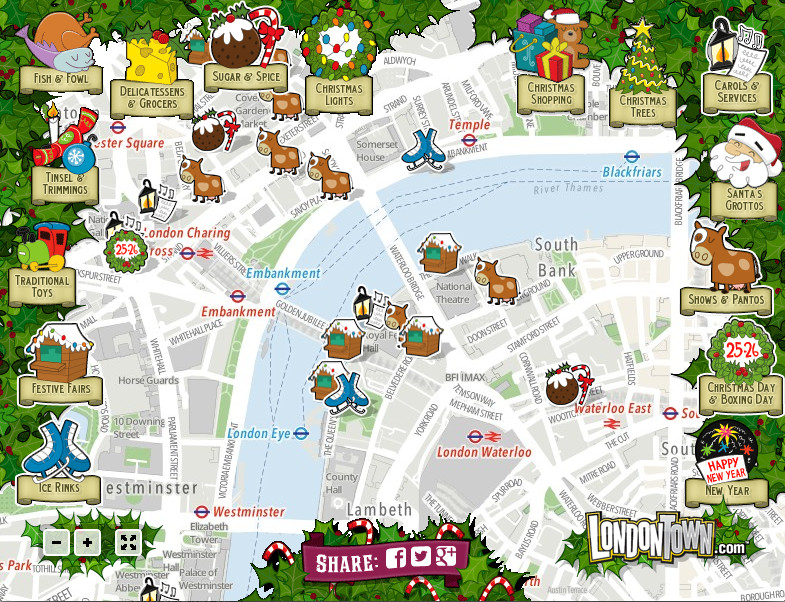
Highlighting the best London maps
This is a view from the LondonTown Christmas Map. While it is essentially just “pins on a map” map with a number of icons relating
More...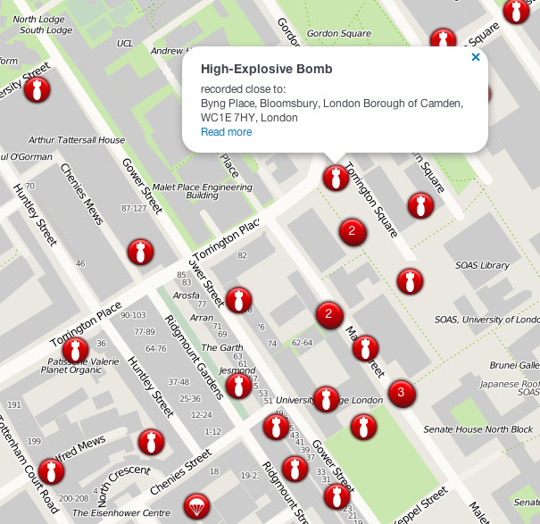
The London Blitz, from 1940-1941, was a traumatic event that changed London’s landscape for ever. Until now, maps of the impact sights from the bombs
More...