Here’s a lovely hand-drawn map of central London with a linguistic twist. It has been commissioned by the Brasserie Blanc restaurant group to celebrate Trafalgar
More...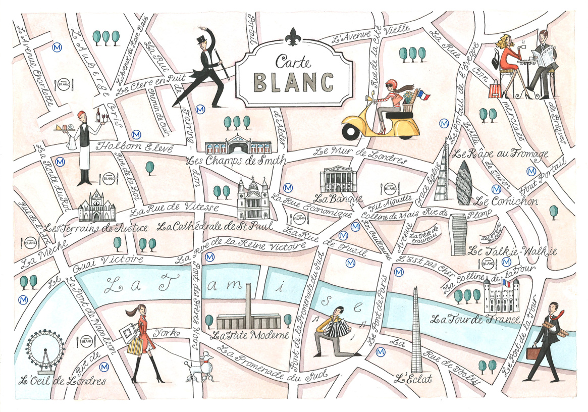
Highlighting the best London maps
Here’s a lovely hand-drawn map of central London with a linguistic twist. It has been commissioned by the Brasserie Blanc restaurant group to celebrate Trafalgar
More...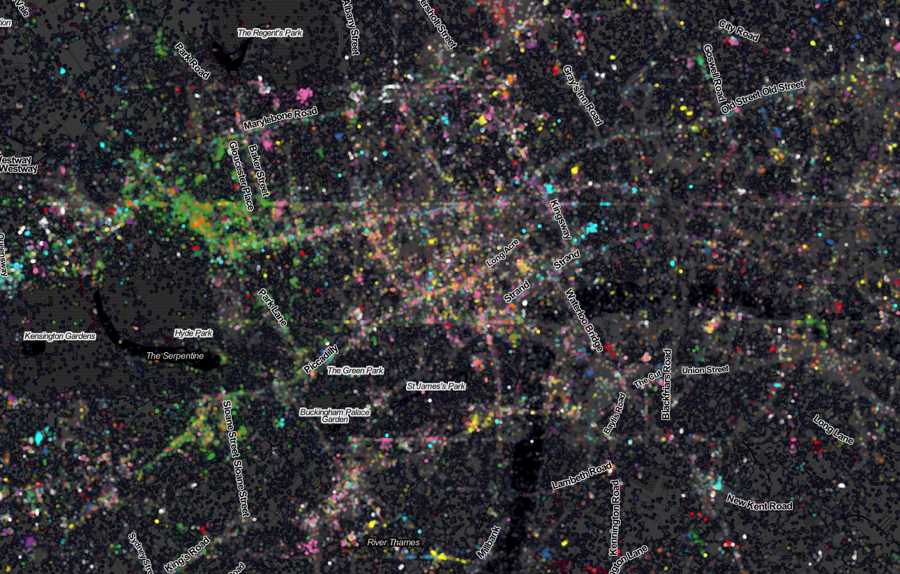
Last week Ed Manley and I published a map showing the top 10 twitter languages in London. To our surprise it made it to page
More...