Google has updated the aerial photography available in Google Maps, for London. The new imagery appears to be from late summer 2010, showing the current
More...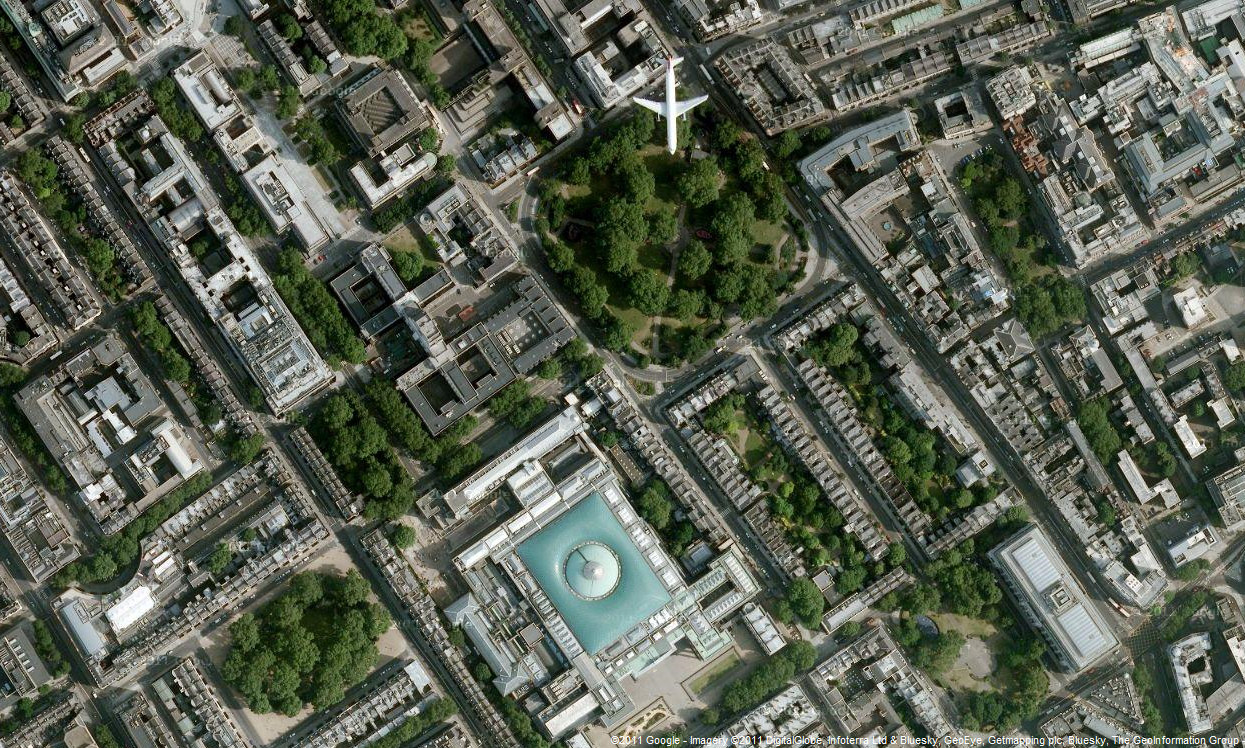
Highlighting the best London maps
Google has updated the aerial photography available in Google Maps, for London. The new imagery appears to be from late summer 2010, showing the current
More...