It’s lovely to see a brand new hand-drawn map of London in this age of computer-generated graphics. This one has been produced by Michael Hill
More...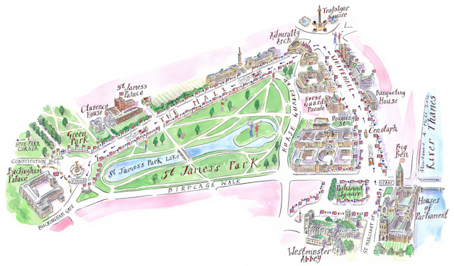
Highlighting the best London maps
It’s lovely to see a brand new hand-drawn map of London in this age of computer-generated graphics. This one has been produced by Michael Hill
More...
The same day that James received a historic picture map of London that we eventually dated to around 1908, mainly based on the appearance of
More...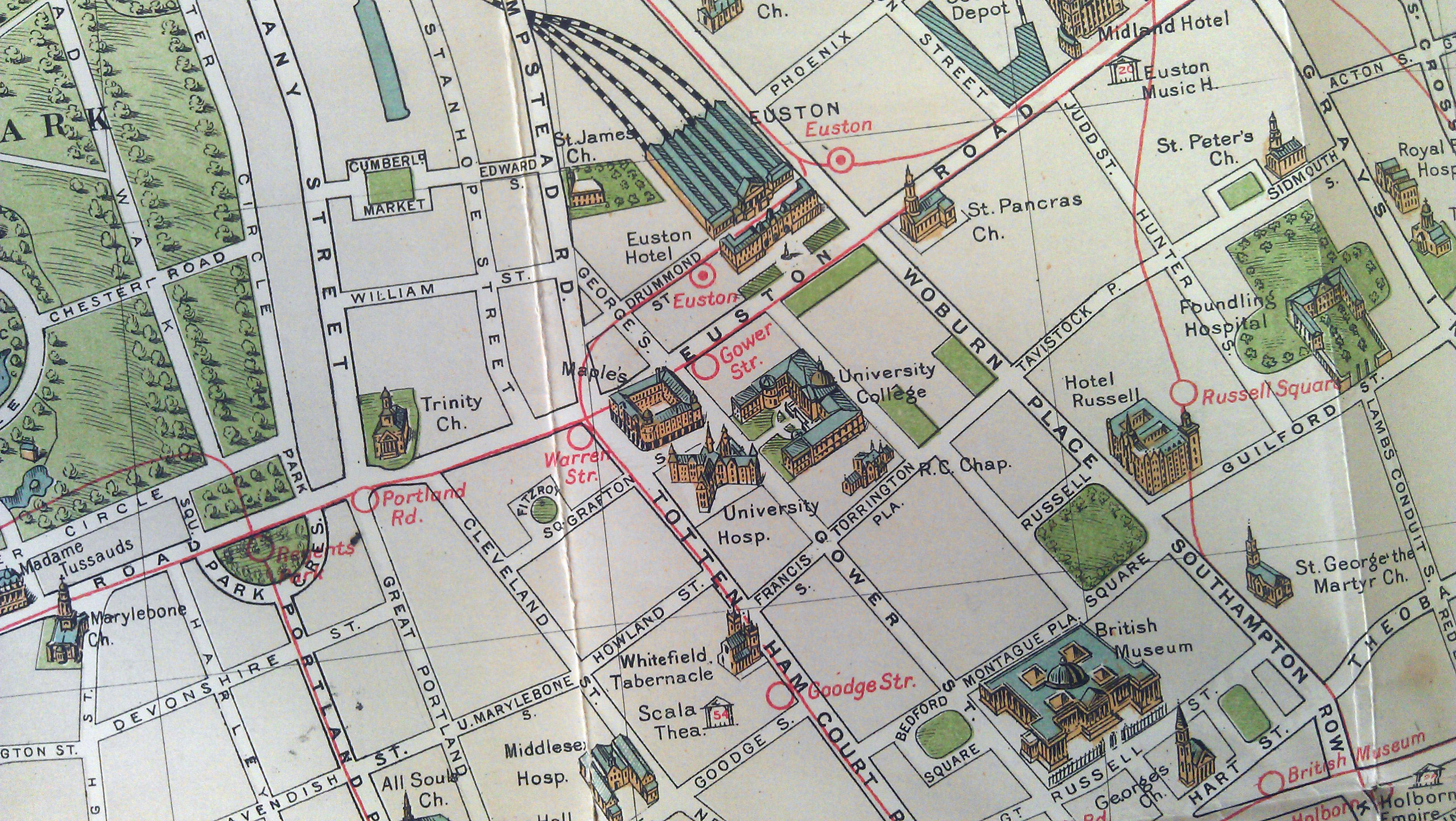
I recently managed to get my hands on one of my favourite maps of London. It is produced by G.W. Bacon and Co. Ltd and
More...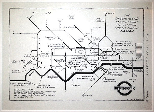
A major new exhibition on mapping the London Underground – Mind the Map – opened last week at the Transport Museum in Covent Garden. Mapping
More...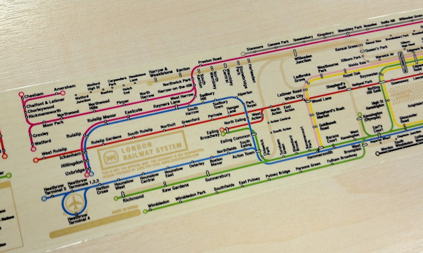
Now this is just excellent – it’s a roll of tape with a custom-designed map of the London Underground (and DLR & Overground) on it.
More...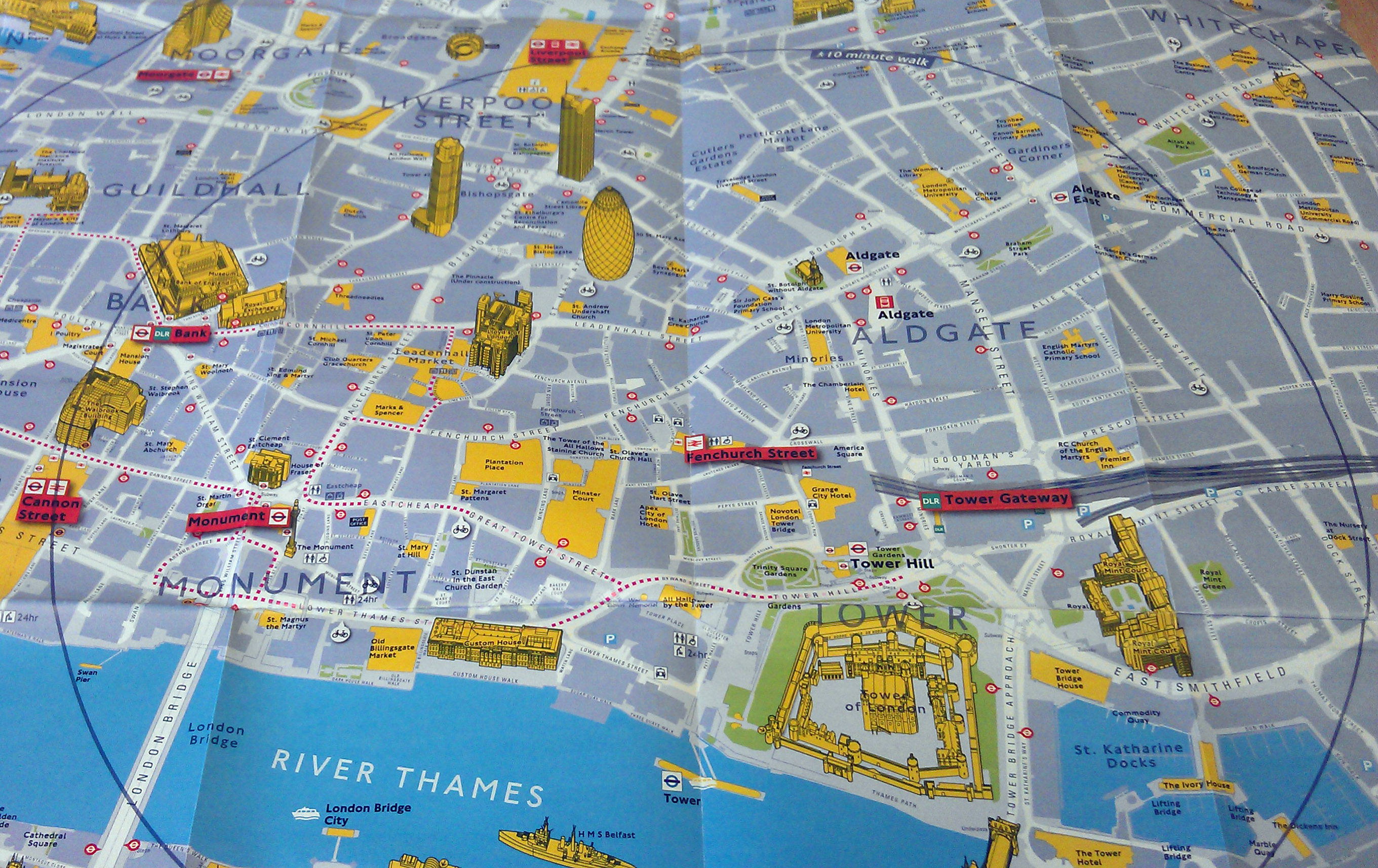
TfL have produced a nice range of maps to promote walking instead of public transport (especially during the Olympics). The maps use different cartography to
More...
Perhaps inspired by Joy Division’s Unknown Pleasures album cover (maybe a favourite for the commute?), Jon Reades (from UCL CASA– of course!) has created this beautiful
More...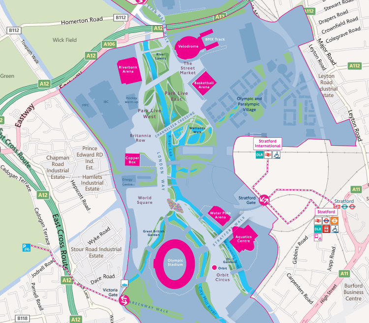
We featured the first official Olympic Park map at the beginning of the year, and it has already received an update which now includes pictures
More...