We were delighted to receive a copy of this rather brilliant new map from artist Julia Forte. It highlights the sort of things in the
More...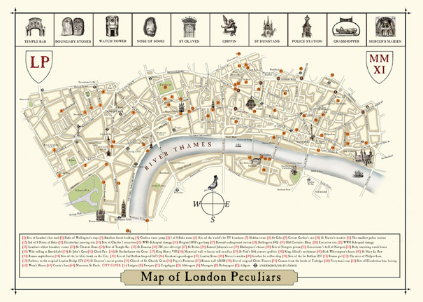
Highlighting the best London maps
We were delighted to receive a copy of this rather brilliant new map from artist Julia Forte. It highlights the sort of things in the
More...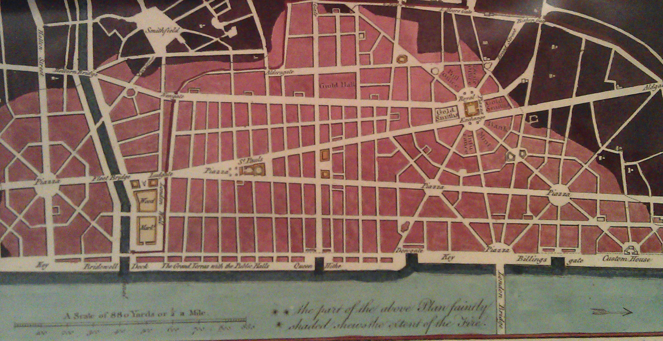
There is a shop in London that I always peer into when I walk past but have always resisted going in as it presented a
More...
A few months back I had the honour of being asked to approve the use of a couple of excerpts from my London Surname Map
More...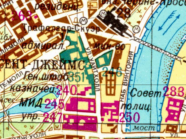
As a followup to yesterday’s article on the Soviet Cold War maps of London, above is an extract sent from the Landmark Information Group, which
More...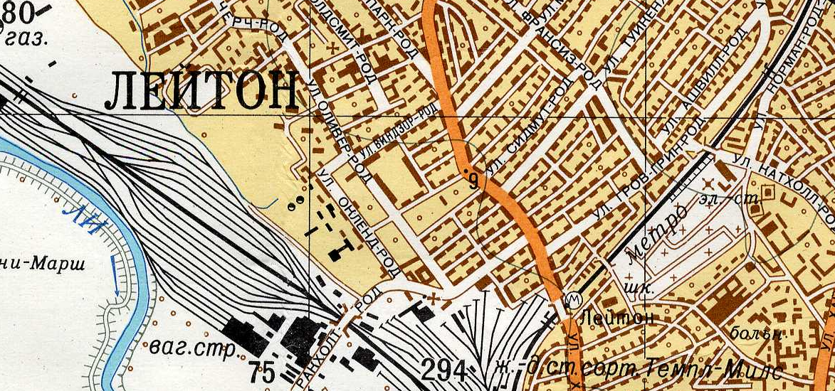
Yes the U.S.S.R. had its own maps of London, and other British cities, produced during Cold War era, i.e. the 1950s-1980s, to be perhaps used
More...