This is the Crumpled City Map of London. Part of a series, including New York, Paris and Rome, and produced by an Italian company, the
More...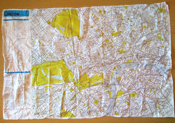
Highlighting the best London maps
This is the Crumpled City Map of London. Part of a series, including New York, Paris and Rome, and produced by an Italian company, the
More...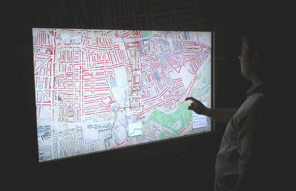
Charles Booth’s 1899 Poverty Map of London is a seminal work in the history of London maps and the development of geodemographics (characterising people based
More...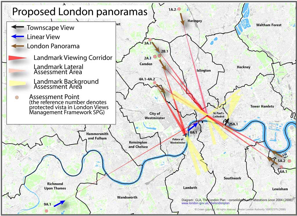
A map, tucked away on the GLA’s London Plan website, reveals graphically the legally “protected vistas” in London – generally views from certain parks in
More...